

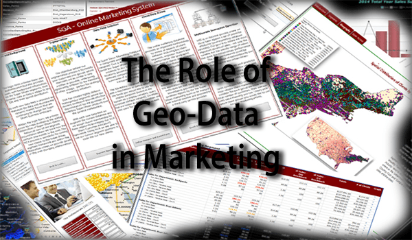
Role of Geo-data in Channel Marketing
From a business perspective we operate in a highly competitive environment where we strategize, theorize and forecast the best methods to convince clients to purchase our products and services while thwarting numerous competitors who themselves are also competing for these same dollars.
This highly competitive circumstance must be viewed as a highly inter-correlated econometric ecosystem where we have a multitude of intertwined forces, where change in one force will have direct effect on another.
No longer can we simply look at one dimension of the problem such as customer sales—nor is it enough to simply augment this circumstance with socio-geo-demographic data; but we must also include spatial, econometric, competition and cyber / social / internet data.
In order for our marketing efforts to be complete, we need to establish the link between these data sources; from the point of the earth’s surface of a given address to the socio-geo-demographic data frames available from the government to the nebulous and ambiguous information framework of the internet. The goal here is to integrate all these points together such that we can create an actionable marketing framework across all marketing channels.
This article is the first in a series of four articles that helps investigate how we create this integrated data framework linking the world of “Bricks and Mortar” with that of the “internet”, “cyberspace” and social media. In this first of article we investigate what we need to build from a data perspective in order to be able to determine which econometric, socio-geo-demographic and competitive forces are responsible for effecting our business—and to what degree.

In our quick and simple definition of “geo-data”, lets consider the notions or properties of “what”, “when” and “where”.
Geo-data has a “where” property – fields in a dataset that have a location, coordinate or reference position on the earths surface. “Geo” implies that the dataset has a spatial component that allows us to geo-reference the described object to a specific location or region on the earth—so in simplistic terms this would be a coordinate system like a latitude and longitude pair.
Geo-data is also thematic in nature—this would be the “what” property. In the early discipline of geography this would have been simple zenith (height) values, but today is would also include census data collected by government agencies to include themes like econometrics, population and household characteristics, employment, education and so on.
Geo-data may also has a temporal element that defines “when”. “When” could be the time a bank account is opened; when a mortgage matures or could be when a sales transaction occurred and collected from a point of sale system (“POS”). We can also have various “states” of when—or different points in time—as would be the case in time series data or perhaps dates in a transactional data stream.
Geo-data vs. Spatial Data


Leading with a security-first mentality
As technology rapidly develops, the number of security and privacy concerns will only continue …